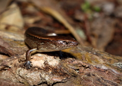
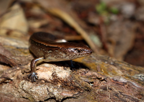
Watering/Waipara Creek valley is situated immediately to the north of Russell. It runs from the ridge, with the Flagpole on Maiki Hill (35.15.32S 174.07.216E) at a height of 97 metres, south-west for 500 metres down to a small pebble beach at sea level that is visible just to the north of Russell town. It is a Department of Conservation reserve with a track running through part of the valley. Many thousands walk this track, especially during the summer tourist season. The valley is regenerating coastal forest, dominated by kanuka to 10m high.
A unique feature of the avifauna of the Russell Peninsula, including the reserve, is the presence of North Island Weka and Brown Kiwi living within the same peri-urban environment. There are very few other North Island mainland areas, if any, where substantial populations of kiwi and weka coexist within the same landscape. Weka are day and crepuscular birds, rarely observed at night, apart from in man-made lightwells. Kiwi of course utilise the same habitat at night.
Through the observations I have uploaded to iNaturalist I hope to build a broad perspective of what is living in the Watering Creek Valley. I have drawn a long bow and included the littoral and coastal sea areas immediately fronting Watering Creek stream where it meets the sea. Hence the inclusion of shellfish, shore/seabirds and dolphins in the list.
Russell/Kororareka was one of the earliest places settled by Europeans and has undoubtably had a raft of introduced mammalian predators, invertebrates and weed plants present from the early 19th century. Hundreds of barrels were rafted to Watering Creek from individual whaleships to 'water ship'. Each barrel was a potential vector to introduce alien species to New Zealand.
The soil is hard eroded greywacke clay, generally not fertile. The sides of the valley are steep and most nutrients seem to be in the narrow valley floor. Regrowth, from rough farmland, seems to be some 100 years old in the lower valley and some 50 years on the upper slopes. Secondary and primary regrowth is relatively poor to date.
Possum were first recorded in the southern Bay of Islands in the early 1970s and increased rapidly in numbers in the benign northern climate. Through grazing and predation they have caused detrimental landscape-scale effects on local native flora and fauna. Possum numbers have been controlled to low levels on the Russell peninsula since 2002. Anecdotally, this has resulted in substantial ecological changes especially in increased secondary regrowth and greater quantities of leaf litter on the forest floor across the peninsula. This may have resulted in recent, and continuing, perceived increases in both numbers and densities of species observed, especially of invertebrates.
The two ridges that encompass the valley have been subdivided for residential development for some 40 years. Some of the weed species now invading the valley are probably escaped plants from the gardens of these 'new' residential sites.
The Bay of Islands is prone to summer 'droughts', especially during the El Nino cycle. The ridges and upper valley slopes can become very dry during these events. The creek runs all year round.
Northland has been poorly researched for species diversity. At the date some of the observations from the Watering Creek valley were made, they were the most northerly record on iNaturalist of that species distribution within New Zealand.
The observation of the small wasp Arpactophilus, probably an Australian or Pacific Island species, is the first record of this genus in New Zealand. Likewise observations of the moth species Rhesalides curvata and Alfalfa Leaf Tier (Dichomeris acuminata) are the first records for the presence of these species in New Zealand.
Additions to the list are ongoing.


